Along the way, you will find the land, rivers dear to the French poet Xavier Grall, and of course the sea. And in a few old stones, the memory of the customs officers who used this route to monitor maritime trade. This path was restored by enthusiasts half a century ago, and in 2018 it was voted France’s favourite long-distance hiking path. It is an ever-changing path, that highlights the diversity of landscapes and architectural heritage. Lorient Bretagne Sud invites you to discover it.
The Ocean, the Creeks
On leaving the Finistère department, the GR runs along the banks of the river Laïta. Already the name is dreamlike. Its meanders snaking through the forest are wonderous. The dominating impression is one of wild nature. When the tide goes out, sandbanks where the birds gather contrast with the emerald to crystal-coloured water. At the mouth of the river, the tides and the wind constantly redraw the estuary in ochre and blue. Beaches, cliffs, small harbours; this is a condensed version of the succession of beautiful Breton landscapes. Inland, the Loch lake in Guidel and Lannenec lake, bordering Ploemeur, the dunes and the moors draw the eye to the undulating countryside, and a mosaic of fields, woods and hamlets.
Fort-Bloquéis well worth a postcard. Is that a mirage, that burst of kaolin between the ocean blue and the flowery moors? In the background, the white slag heaps stand against the forest. There is a succession of small ports:Le Courégant, Kerroch, and Lomener. Kerpape, Kerguelen, and then the land drops down to Larmor-Plage a seaside resort with villas from the 1900s. A slew of boats come and go in a ballet between the bay and the island of Groix.
Lanester nestles between the river Scorff, and the Plessis, a river that runs along the border between the industrious city and the reed beds. The countryside takes over again. From the top of Saint Guénaël we drop down to the Blavet. Contemplation, a change of scale. The banks start to rise.
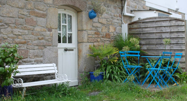
Countryside, Breton longères (long houses) and moors
Once over the pont du Bonhomme, the countryside intensifies, becomes denser and calmer, revealing houses and villages where time stands sill. In the distance, from the cultivated heights of Talhouët, Saint Sterlin, you can watch the big cruise ships leaving the bay before heading back inland.
Kergamenan, Kermoëllo, Mané Branroc’h, Locjan and its chapel, villages with poetic Breton names, interspersed by granite farmhouses with pointed roofs posted as sentinels. In between, a bucolic landscape of fields, meadows, woods and lakes almost makes you forget the nearby ocean.
Le Grand Site de France Dunes Sauvages de Gâvres à Quiberon
Head back here along the coastal lake of Kerzine to discover Plouhinec: kilometres of dunes edging the ocean, its long beach, waves of hare’s-tail grass undulating in the wind, lichens and mosses, purslane and orchids, and the feel of the wind of freedom.
And finally, we come to the ria d’Etel bringing the two worlds together: the sea penetrates far into the land. At Vieux Passage, time stands still. Sit for a moment on the edge of the pier facing Etel, a land of great navigators who brought prosperity to their village by chasing the tuna offshore on their tall ships.