The Rando Bretagne Sud app lists more than a hundred routes around Lorient and Quimperlé. To download the application: App Store and Google Play store.
Lorient, Quiberon, Auray, Vannes, Arzon… Also known as the “custom officers’ path”, the GR 34 runs along the coast from west to east for over 480 km. It gradually reveals exceptional and remarkable megalithic, architectural, historical and environmental sites. It passes through Lorient Bretagne Sud from Guidel-Plage to the Ria d’Etel, more than 60 km of varied landscapes to discover.
The bay of Lorient represents a particularly dynamic interface between the ebbing and flowing saltwater of the ocean and the freshwater of the rivers Scorff and Blavet. The meeting of these two worlds has shaped an exceptional landscape to be discovered on foot, by bike or by boat: 29 km, about 7½ hours on foot, excluding boat crossings.
Inaugurated in 2007, this path in a protected natural site, along the ocean, its beaches and rocky coasts, between Guidel- Plages and Kerroc’h (Ploemeur), west of Lorient.
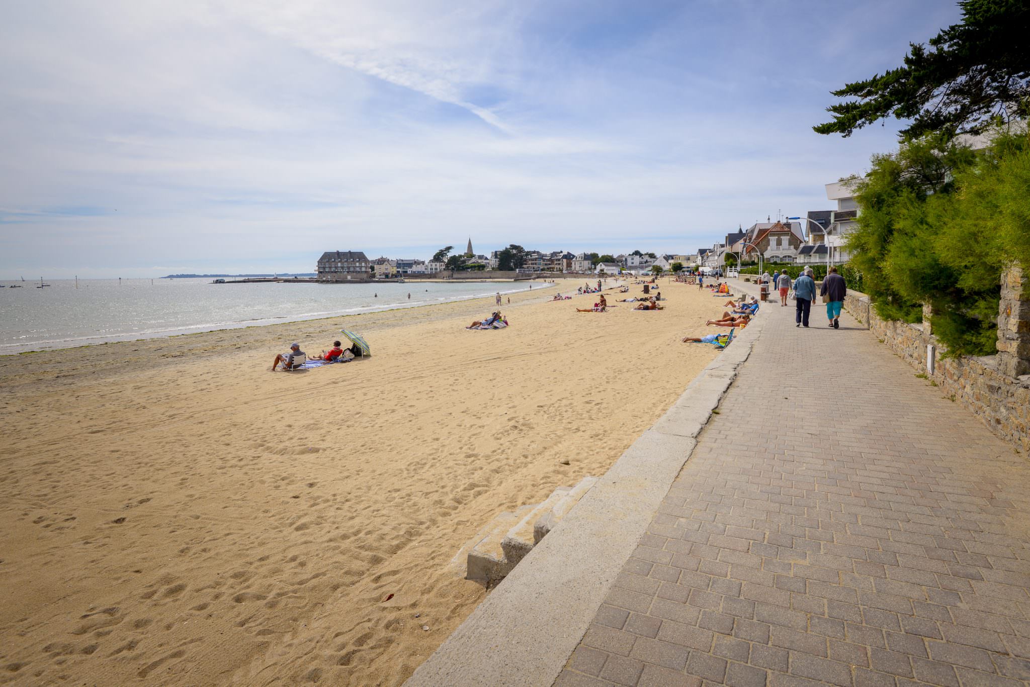
From Lorient to Ploemeur, through woods and pine forests. From the town to the beaches, a lovely route by bicycle, on foot, roller-skates, skateboards, wheelchairs, buggies, scooters or even horseback…
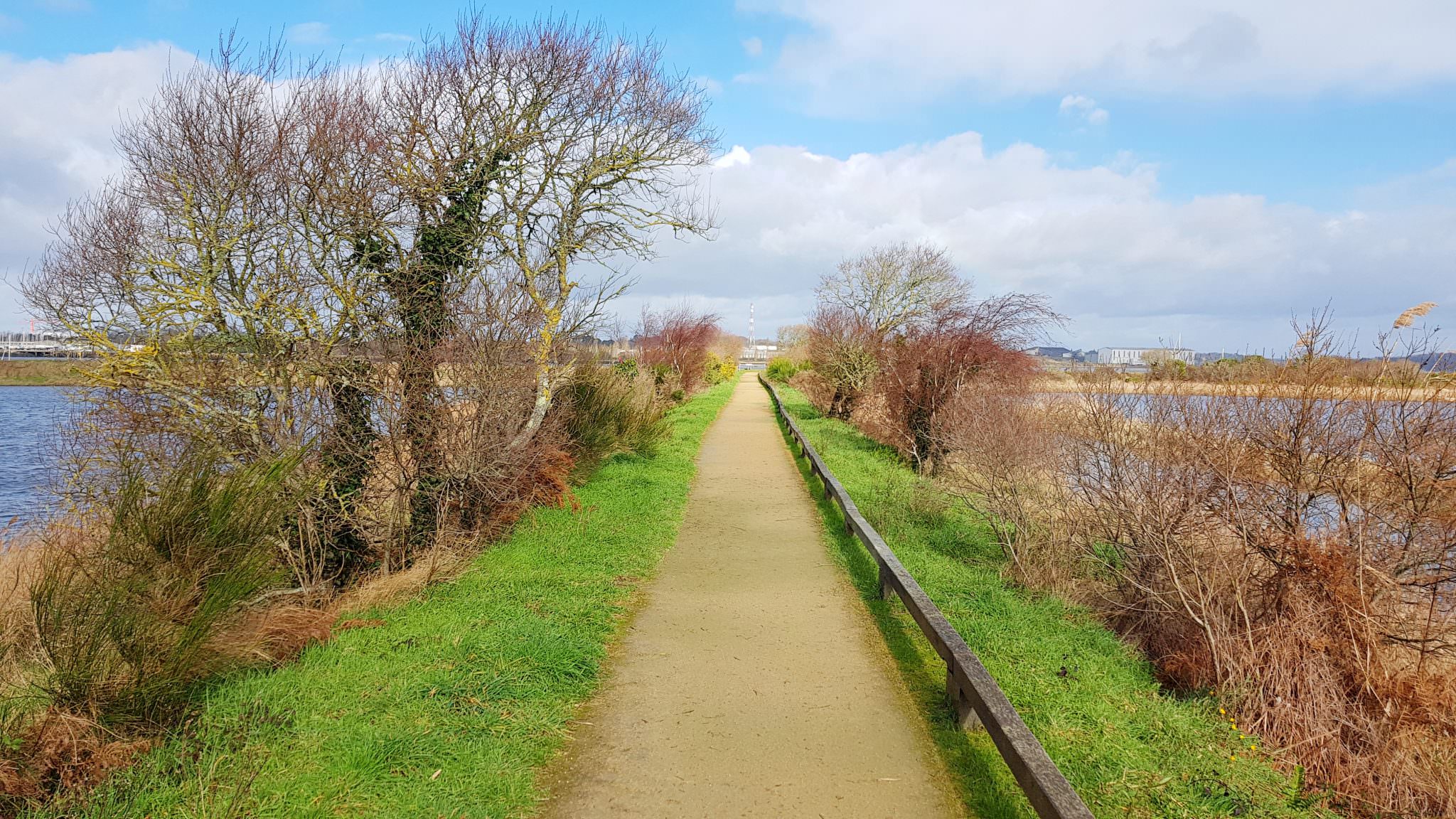
Built at the beginning of the 19th century, this towpath is ideal for admiring the rich architectural and historical heritage of the towns of Pontivy and Hennebont. The path runs along wooded banks where remarkable flora and fauna can be found.
Several Small Hiking Trails
The Rando Bretagne Sud app lists more than a hundred routes around Lorient and Quimperlé. You can choose by theme: coastal walks, heritage walks, walks of less than one hour, through woods, roaming and also cycling or mountain biking.
You can also choose on the map, according to your location. For each hike, you will find a description, photos and good addresses nearby. You can download the course map before you leave and save it on your smartphone or tablet, so no network connection is required. To download the application: App Store and Google Play store.
Lorient also proposes several themed walking tours through the town. The Urban Walks are divided into 8 themed circuits, from 2 to 10 km. You can download the maps and comments on the Lorient website: https://www.lorient.bzh/promenades/.
There are more than thirty circuits signposted by Lorient Agglomeration, around the 25 communes of the territory. You can view and download them on the “Hiking around Lorient and Quimperlé”.
The sensory trail at La Charbonnière’s in Inzinzac-Lochrist, in the heart of the Trémelin forest, provides many facilities for disabled access. The paths are accessible and secure (breadcrumb trail…). Signposts and information are provided in relief and in braille.