Before you leave or on the island, get all the practical information you need to organize your trip to this jewel in the south of Morbihan, from Lorient, Larmor-plage, Lomener or Port-Louis.
There is a Tourist Office at the port as soon as you arrive. The tourist map of the island will help you find your way around to the places where you’ll be staying or discover the island’s must-see spots. Not forgetting the weather, the shipping forecast, and the tide schedules!
Departing Lorient all year round from the ferry terminal, in season from Port-Louis, from the small port of Lomener in Ploemeur, from Locmiquélic, there are plenty of choices for getting to the Island of Groix.
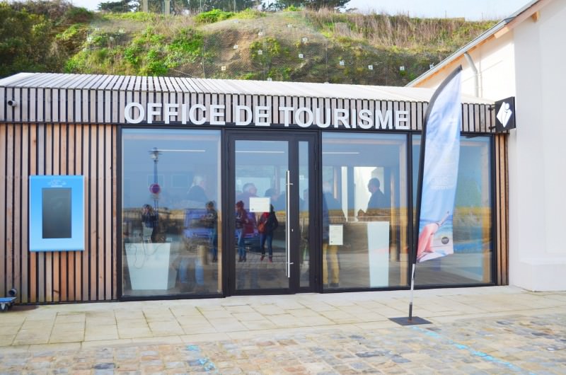
The island of Groix Lorient Bretagne Sud Tourist Officeis located directly on the port of Port-Tudy, as soon as you arrive by boat. It opens from Spring to Autumn, and during school holidays, depending on boat arrival times.
Before your departure or when you get back to the “mainland”, our agency in Lorient Centre is also open all year round, quai de Rohan, at the Lorient marina, and there are other agencies all around the area.